Google Map Directions action is used to get route information between two points. The user can enter the starting point (origin) and destination to get route information via Google Maps. Additionally, the mode parameter allows selecting the mode of transportation (car, walking, bike, public transit). It is often preferred in navigation, travel planning, or route-based business applications.
Technical Specifications
Function: Returns route information via Google Maps.
Parameters:
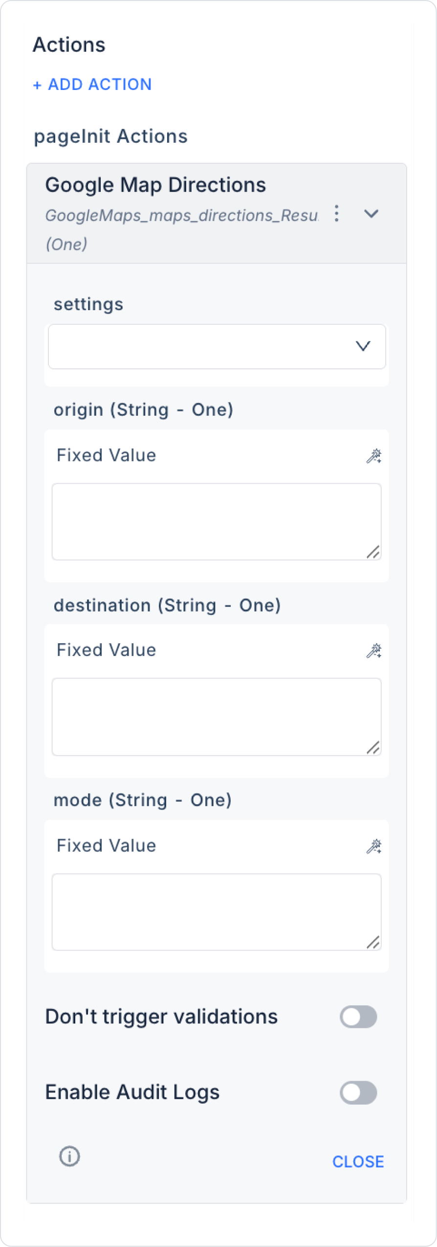
settings (Object – required): Connection settings required for Google Maps integration.
origin (String – required): Starting point (address or coordinates).
destination (String – required): Destination (address or coordinates).
Result: Singular (One) → Selected route information (distance, time, step-by-step directions).
Value Binding:
Parameters can be entered as fixed.
Can be dynamically bound to user inputs (e.g., TextInput, Location Picker).
Web & Mobile Support: Can be used in both web and mobile applications.
Google Map Directions Application Steps
1. Add Action
Go to the screen in your Kuika project where you want to get directions.
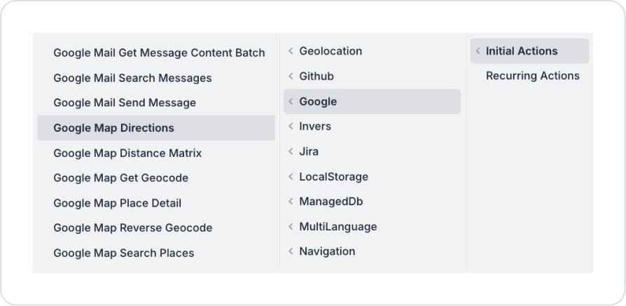
UI Design → + ADD ACTION → Google → Google Map Directions Add the action.
2. Configure Parameters
origin: “Izmir, Turkey” or “38.4192, 27.1287”.
destination: “Istanbul, Turkey” or “41.0082, 28.9784”.
mode: If ‘driving’ is selected, the driving route is calculated.
Enable Audit Log (Optional): Ensures that actions performed during execution are added to the audit log records. This allows you to track when changes were made to the system, by which user, and within the scope of which action.
Usage Scenario: “Calculating the Driving Route from Izmir to Istanbul”
In a travel app, the user wants to go from Izmir to Istanbul.
Steps:
The user enters their starting location (origin) as “Izmir”.
The destination is selected as “Istanbul”.
mode = driving is set.
Google Map Directions runs and returns the estimated time and distance.
The result is displayed step by step on the Map element on the screen.
Google Map Directions Advanced Customizations
Dynamic Locations: The user's device location can be automatically linked to the origin parameter.
Different Transportation Types: The user can get different routes by selecting the mode (e.g., bike, walking).
Chain Operation: The returned distance and time information can be used in price calculations or reporting.
Technical Risks and Controls
If an incorrect or empty origin/destination is entered, no result will be obtained.
If the mode is entered incorrectly, Google Maps will return driving by default.
An error may occur if Google Maps API quota limits are exceeded.